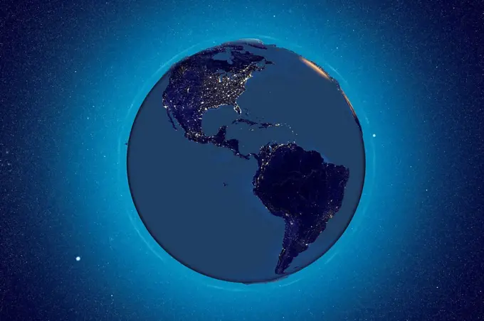
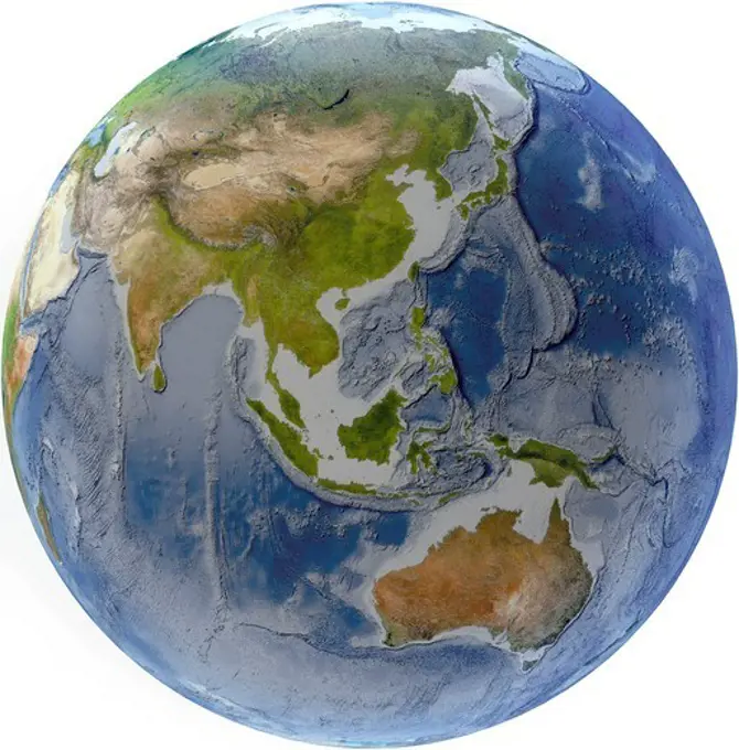
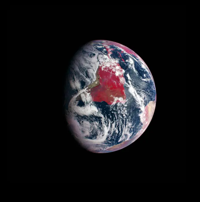
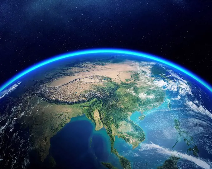
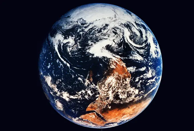
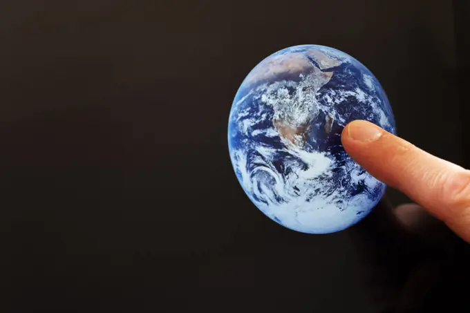
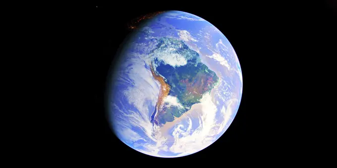
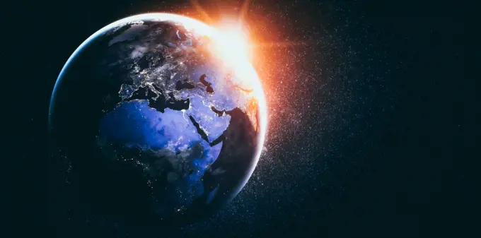
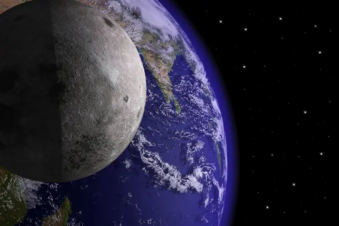
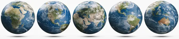
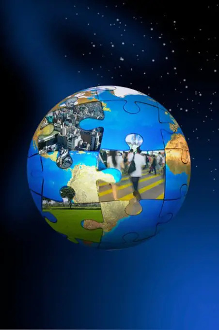
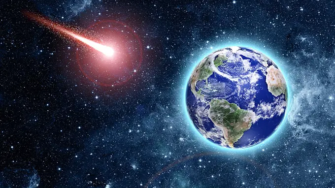
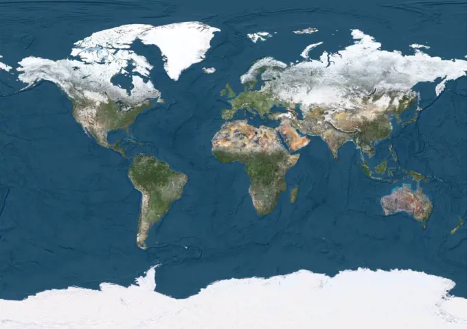
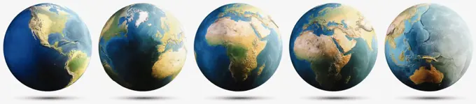
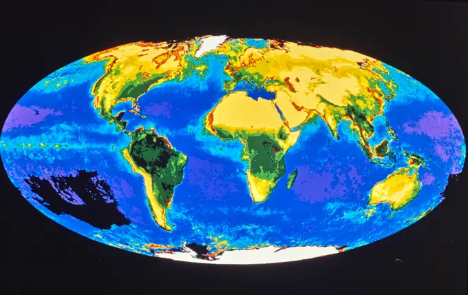
Fine ArtVintageFootageSubscriptionBoardsFree ResearchPricing
  • Fine Art
  • Vintage
  • Footage
  • Subscription
  • Boards
  • Free Research
  • Pricing

Planet Earth Visualizations

3D renderings of Earth from space, highlighting detailed continents, oceans, and atmospheric features, with various lighting effects.

Earth from space, illustration
380 assets in this story
4417-1003
Illustration of Earth as it would appear without water, showing continental plates and topography of sea bed
1525-26918057
Planet Earth panoramic. Elements of this image furnished by NASA. 3d rendering. Planet Earth panoramic
4239R-7842
3D rendering of planet Earth with clouds. Centered on the Atlantic ocean, with the Americas, Africa and Europe partially visible.
1849-66221577
Earth from space showing the United States and Mexico
1746-29953522
2004, NASAs Mercury Surface, Space Environment, Geochemistry, and Ranging (MESSENGER) spacecraft Image of South America and portions of North America and Africa from the Mercury Dual Imaging Systems wide-angle camera aboard MESSENGER. The wide-angle camera records light at eleven different wavelengths, including visible and infrared light. Combining blue, red, and green light results in a true-colour image from the observations. The image substitutes infrared light for blue light in the three-band combination. The resulting image is crisper than the natural colour version because our atmosphere scatters blue light. Infrared light, however, passes through the atmosphere with relatively little scattering and allows a clearer view. That wavelength substitution makes plants appear red. Plants reflect near-infrared light more strongly than either red or green, and in this band combination, near-infrared is assigned to look red.
1525-25764882
North Canada, Arctic and Greenland. Elements of this image furnished by NASA 3d rendering. North Canada, Arctic and Greenland 3d rendering. North Canada, Arctic and Greenland 3d rendering
4128-18800508
Asia from space, illustration
1457-1131
Satellite view of Earth showing North America
1848-50807671
High resolution illustration of planet Uranus. The seventh planet from the Sun with the third largest diameter in our solar system
1525-25770174
Planet Earth 3d rendering. Planet Earth. Earth globe 3d rendering, maps courtesy of NASA. Planet Earth 3d rendering
1525-57473555
Taiwan city lights. Elements of this image furnished by NASA. 3d rendering. Taiwan city lights
4128-18929427
Artwork comparing Earth past and present
1525-28167484
United States city lights panoramic. Elements of this image furnished by NASA. 3d rendering. United States city lights panoramic
4239R-7852
3D rendering of planet Earth with clouds, centered on North America and South America.
1525-25755793
East USA from space. Elements of this image furnished by NASA. East USA from space. East USA from space
1828R-4560
Wire Globe with Rings in Space, North America
1525-28153053
Planet Earth map. Elements of this image furnished by NASA. 3d rendering. Planet Earth map
1525-21258081
blue  planet earth  in space.
6188-65580053
Planet Earth sunrise Planet Earth with rising Sun, view from space. Elements of this image furnished by NASA Copyright: xZoonar.com/SergeyxPetermanx 10751404
4128-16220229
Illuminated Arctic from space, illustration
1525-22676587
Planet Earth 3d rendering. Planet Earth. Earth globe 3d rendering, maps courtesy of NASA. Planet Earth 3d rendering
1525-28172976
China and South Korea at night. Elements of this image furnished by NASA. 3d rendering. China and South Korea at night
1589R-13110407
Earth and debris in outer space
4128R-13941084
Planet Earth, illustration.
4128R-13682089
Earth from space. Computer illustration showing the Earth as viewed from space, centred over Japan.
4128R-13682087
Earth from space. Computer illustration showing the Earth as viewed from space, centred over Japan.
1525-27220218
Planet Earth, Globe in space in nebula clouds. Elements of this image are furnished by NASA
1525-57473589
Arctic, North Pole - planet Earth. Elements of this image furnished by NASA. 3d rendering. Arctic, North Pole - planet Earth
1525-27438708
Sunrise on Earth with the moon
6145-45258896
NASA's CloudSat satellite flew over Hurricane Maria on Sept. 17, 2017, at 1 23 p.m. EDT (17 23 UTC) as the storm had just strengthened into a hurricane in the Atlantic Ocean. Hurricane Maria contained estimated maximum sustained winds of 75 miles per hour (65 knots) and had a minimum barometric pressure of 986 millibars. CloudSat flew over Maria through the center of the rapidly intensifying storm, directly through an overshooting cloud top (a dome-shaped protrusion that shoots out of the top of the anvil cloud of a thunderstorm). CloudSat reveals the vertical extent of the overshooting cloud top, showing the estimated height of the cloud to be 11 miles (18 kilometers). Areas of high reflectivity with deep red and pink colors extend well above 9 miles (15 kilometers) in height, showing large amounts of water being drawn upward high into the atmosphere. A movie is available at
4186-75515501
Vintage Photograph. Earth from space: exploring the beauty of our planet's continents and oceans.
1746-19664328
Pacific Ocean photo by satellite Next Generation is a mosaic of satellite data taken mostly from a NASA sensor called the Moderate Resolution Imaging Spectroradiometer (MODIS) that flies board NASAs Terra and Aqua satellites
1525-22951028
The Earth from space showing all they beauty. Elements of this image are furnished by NASA. Our unique universe
1899-34574
World In Geographic Projection, True Colour Satellite Image. True colour cloudless satellite image of the whole Earth, shown in geographic projection. This image was compiled from data acquired by LANDSAT 5 & 7 satellites.
1525-22914876
Planet Earth continents. Elements of this image furnished by NASA. 3d rendering. Planet Earth continents
1525-27774237
South America. Elements of this image furnished by NASA. 3d rendering. South America 3d rendering
1899-34584
Globe North Pole, True Colour Satellite Image. Cloudless true colour satellite image of the Earth, centred on the Arctic or north polar region. The Arctic region consists of an ice-covered ocean which is almost wholly surrounded by large land masses. The image used data from LANDSAT 5 & 7 satellites. Print size 42x42cm.
4128R-11286887
Earth from space, computer artwork.
4239-57497797
3D illustration of planet Earth, centered on North America.
1525-25755924
South East Asia. South East Asia. Elements of this image furnished by NASA. South East Asia
1525-25717236
Planet Earth with stars, globe model isolated on black. Elements. Planet Earth with stars, globe model isolated on black. Elements of this image furnished by NASA. Planet Earth with stars, globe model isolated on black. Elements of this image furnished by NASA
4128R-13941083
Planet Earth, illustration.
1525-26907158
Planet Earth world. Elements of this image furnished by NASA. 3d rendering. Planet Earth world
6188-67187876
Erde und Mond im Weltraum, 3D-Rendering Earth and Moon in the space, 3D rendering Copyright: xZoonar.com/natatravelx 22898839
4128R-15516602
Illustration of the Earth from space
4128R-15516612
Illustration of the Earth from space
1525-25764987
United States 3d rendering planet. United States. Elements of this image furnished by NASA 3d rendering. United States 3d rendering planet
4128R-15516597
Illustration of the Earth from space
1746-30004414
Photograph of the continent of Asia from space.
6145-54446502
Earth as seen from space. Country: Unknown
1525-57473594
South America travel. Elements of this image furnished by NASA. 3d rendering. South America travel
1899-21290052
World Satellite Map (Pacific Centred) in winter, with partial snow cover. This image was compiled from data acquired by Landsat 7 & 8 satellites.
1525-27187764
Planet Earth panoramic. Elements of this image furnished by NASA. 3d rendering. Planet Earth panoramic
4128R-13941094
Two planets, illustration.
1848-55441406
Blue globe showing atmosphere, Europe and Africa, 3-D illustration
1525-27675487
Finger pointing at the earth on a tablet computer screen - Created with public domain image from Nasa
4239-69143509
Artist's concept of planet Earth centered on South America.
1525-23901831
Planet earth globe view from space showing realistic earth surface and world map as in outer space point of view . Elements of this image furnished by NASA planet earth from space photos.. Planet earth globe view from space showing realistic earth surface and world map
6145-45142183
On August 21, 2017, the first total solar eclipse to move across the United States in 99 years occurred. GOES-16 captured the eclipse with the Advanced Baseline Imager (ABI) which had a clear view of the moons shadow as it traveled diagonally across the path of totality of the Continental United States from the Pacific Northwest through South Carolina. In this full disk geocolor image from GOES-16 on August 21, 2017, the center of the moon's shadow is now east of the Mississippi River.
1899-35612
Globe Centred On The North Pole, True Colour Satellite Image. True colour satellite image of the Earth centred on the North Pole, at the equinox at 6 p.m GMT. This image in orthographic projection was compiled from data acquired by LANDSAT 5 & 7 satellites.
1457R-274
Close-up of a map of the world
1899-35606
Globe Centred On The North Pole, True Colour Satellite Image. True colour satellite image of the Earth centred on the North Pole, during winter solstice at 12 p.m GMT. This image in orthographic projection was compiled from data acquired by LANDSAT 5 & 7 satellites.
1525-25769731
Planet Earth 3d rendering. Planet Earth 3d rendering. space model, maps courtesy of NASA. Planet Earth 3d rendering
1525-25769594
Asia 3d rendering planet. Asia 3d rendering planet. Earth map from NASA. Asia 3d rendering planet
4128R-12577913
Planet earth with an oil well, computer artwork.
4128-15701034
Earth from space, illustration
4128R-13763334
Earth from space. Computer illustration showing the Earth as viewed from space, centred over Europe.
1899-35627
Globe Centred On The South Pole, True Colour Satellite Image. True colour satellite image of the Earth centred on the South Pole with cloud coverage, during winter solstice at 12 a.m GMT. This image in orthographic projection was compiled from data acquired by LANDSAT 5 & 7 satellites.
1525-19892852
World Globe Showing Solar System And Solar-System
1525-25765464
Planet Earth 3d rendering. Planet Earth. Elements of this image furnished by NASA 3d rendering. Planet Earth 3d rendering
6145-45258115
This full-disk image from the GOES-13 satellite was captured at 23 45 UTC (6 45 p.m. ET) and shows a winter blizzard blanketing the eastern United States on January 22, 2016. b a href= http //goes.gsfc.nasa.gov/ rel= nofollow
4378-1344
Wireframe model used to show the gravity of earth.
1525-25764678
Earth globe map 3d rendering. Earth globe map. Elements of this image furnished by NASA 3d rendering. Earth globe map 3d rendering
1899-35443
Whole Earth With Bump Effect, True Colour Satellite Image. True colour satellite image of the whole Earth with bump effect. This image in Miller projection was compiled from data acquired by LANDSAT 5 & 7 satellites.
1899-21290502
3D satellite image of Turkey and the Black Sea.
1525-23685814
Around th world. Earth planet image with buildings on surface. Elements of this image are furnished by NASA
1296R-253
Close-up of a globe
4128R-13682080
Earth and moon from space at night. Computer illustration showing the Earth as viewed from space, centred over the USA.
6188-65608236
Earth South Pole done with NASA textures Earth South Pole done with NASA textures 3D illustration Copyright: xZoonar.com/magannx 14221349
6145-45261732
b View detail image here a href= http //bit.ly/1bvJlaN rel= nofollow bit.ly/1bvJlaN /a /b Arctic air has surged into the U.S. pushing into the Southeastern states and dropping high temperatures there into the 20s with colder wind chills. This NOAA GOES-East satellite image was captured at 1445 UTC/9 45 a.m. EST on January 28, and between the clouds and the snow on the ground with cold air overhead, it appears as if much of the U.S. has been covered by an "Arctic Blanket." According to NOAA's National Weather Service (NWS), the Gulf coast states from southern Louisiana east to the Carolinas are facing a wintry mix of precipitation along the southern edge of the Arctic air. Meanwhile, NWS notes that wind chills throughout much of the central and eastern U.S. are in single and negative numbers during the day on January 28. The GOES-East satellite is managed and operated by NOAA. This image was created by the NASA/NOAA GOES Project at NASA's Goddard Space Flight Center in Greenbe
6188-63327767
Moon with Earth Moon with Earth in background from space Copyright: xZoonar.com/MartinxHladkyx 1395439
1525-23667984
DNA molecule research. Science background image with DNA molecule 3D illustration. Elements of this image are furnished by NASA
1899-35610
Globe Centred On The North Pole, True Colour Satellite Image. True colour satellite image of the Earth centred on the North Pole, at the equinox at 12 a.m GMT. This image in orthographic projection was compiled from data acquired by LANDSAT 5 & 7 satellites.
1525-26907160
Planet Earth white isolated set. Elements of this image furnished by NASA. 3d rendering. Planet Earth white isolated set
1525-28246309
Planet Earth weather globe set. Elements of this image furnished by NASA. 3d rendering. Planet Earth weather globe set
1525-26918030
Earth from space. Elements of this image furnished by NASA. 3d rendering. Earth from space
1525-27968231
Planet Earth geography. Elements of this image furnished by NASA. 3d rendering. Planet Earth geography. 3d rendering
1899-34575
World With Arctic Ice Pack In Geographic Projection, True Colour Satellite Image. True colour cloudless satellite image of the whole Earth, with Arctiv pack ice, shown in geographic projection. This image was compiled from data acquired by LANDSAT 5 & 7 satellites.
6177-V53616973
1397R-75778
Environmental Conservation, Digitally generated image of earth with puzzles in blue background
4389-351
Composite Image of the European Continent With City Lights Seen By MODIS
1525-21271770
comet coming to blue planet in space
6145-44547149
This color image of the Earth was taken by NASAs Galileo spacecraft on December 11 as it departed on its 3-year flight to Jupiter, about 2 1/2 days after the second Earth flyby.
6145-45259933
NOAA's GOES-East satellite captured this stunning view of the Americas on 12.13.14, December 13, 2014 at 17 45 UTC. The data from GOES-East was made into an image by the NASA/NOAA GOES Project at NASA's Goddard Space Flight Center in Greenbelt, Md. GOES satellites provide the kind of continuous monitoring necessary for intensive data analysis. Geostationary describes an orbit in which a satellite is always in the same position with respect to the rotating Earth. This allows GOES to hover continuously over one position on Earth's surface, appearing stationary. As a result, GOES provide a constant vigil for the atmospheric "triggers" for severe weather conditions such as tornadoes, flash floods, hail storms and hurricanes.
4048-10988
North American, the Caribbean, and northern South American photographed from space. June 1, 2010.
1899-21290046
World Satellite Map in winter, with partial snow cover and showing ocean depths. This image was compiled from data acquired by Landsat 7 & 8 satellites.
1525-28167489
Planet Earth white isolated with shadow set. Elements of this image furnished by NASA. 3d rendering. Planet Earth white isolated with shadow set
4186-73096361
Vintage Photograph. Discover global climate zones through vibrant color mapping in this world image.
1899-34582
Globe Africa, True Colour Satellite Image. Earth. True colour satellite image of the Earth, centred on Africa. North is at top. Water is blue, vegetation is green, arid areas are brown, and snow and ice are white. Both land and ocean floor topography are shown. The terrain of Africa varies from rock and sand (grey and brown) in the Sahara in North Africa, to tropical rainforests (dark green) in Western and Central Africa, to savannah and plains (brown and green) in southern and eastern Africa. S
1525-19892907
World Planets Showing Solar System And Cosmos
PREVIOUS
of 4
NEXT
2401 S. Ervay, Suite 206
Dallas, Texas 75215
United States
Browse
CategoriesGalleriesFree Research
For Creators
License Your ContentSuperStock For StudentsFrame of Mind BlogContributor PortalNew Image SpotlightLicense AI Imagery
Resources
About UsLicensingTerms & ConditionsAPI AccessPrivacyPricing
Contact
+1 866 236 0087help@superstock.com Contact form
©2026 SuperStock. All Rights Reserved. -A
This site is protected by reCAPTCHA and Google Privacy Policy and Terms of Service apply.