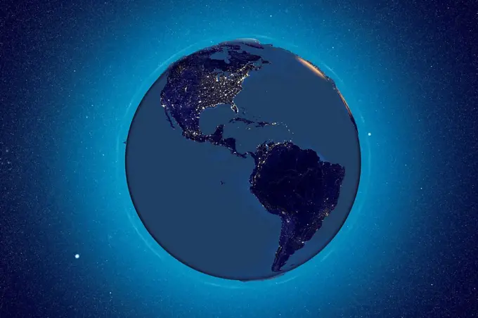
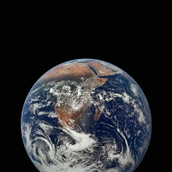
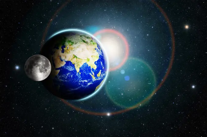
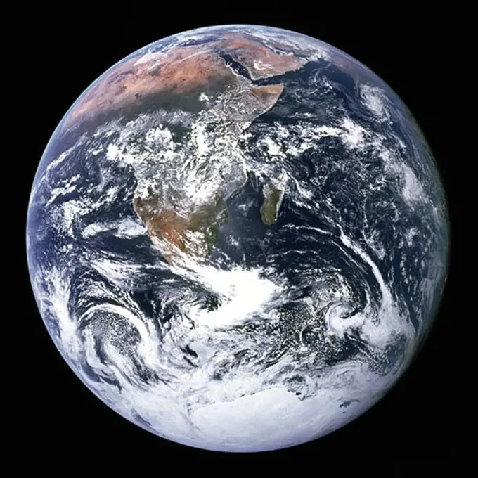
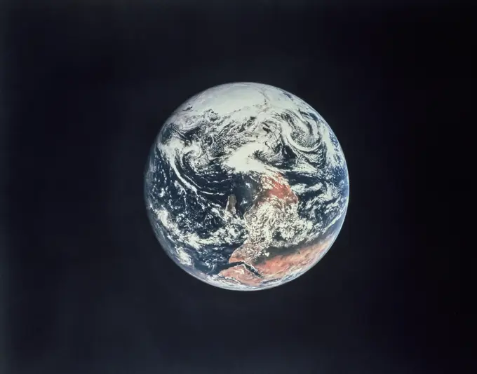
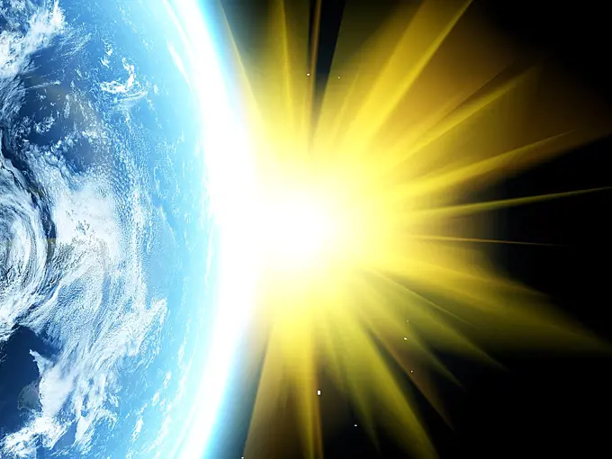
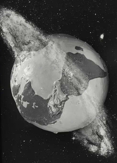
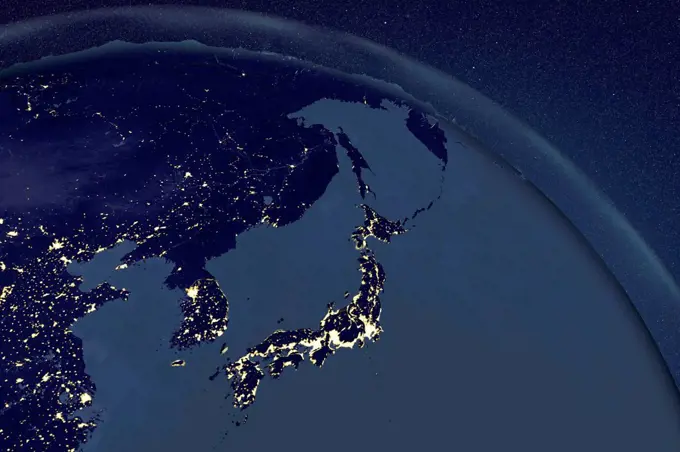
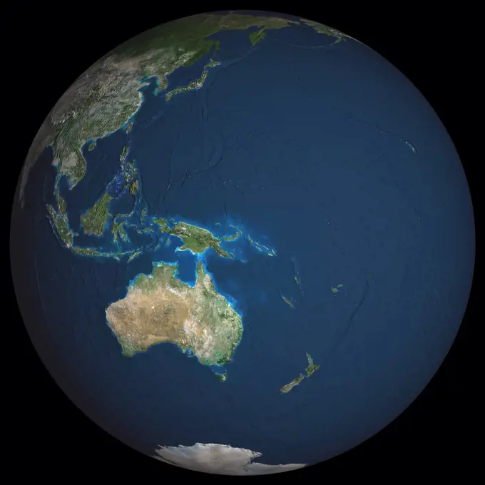
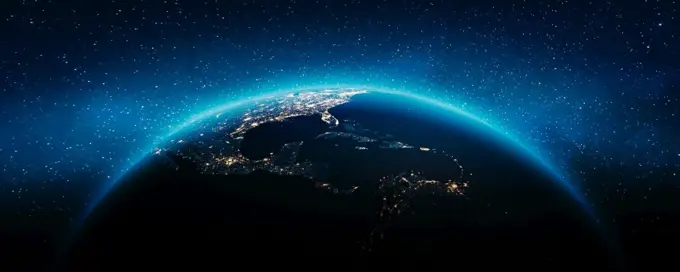
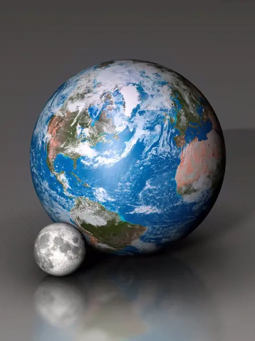
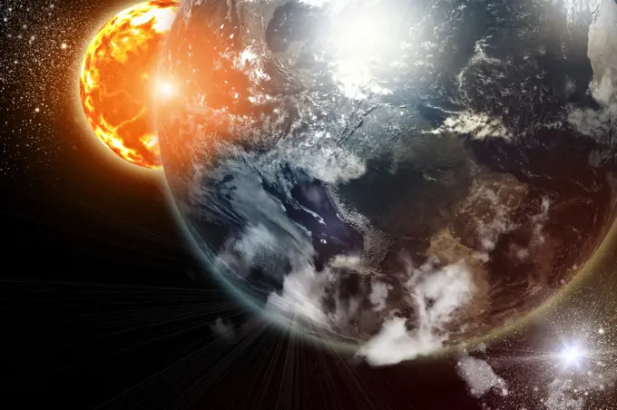
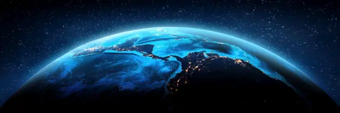
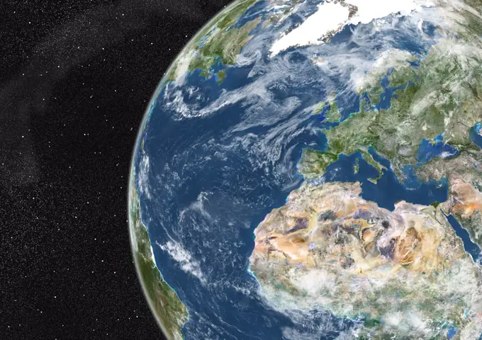
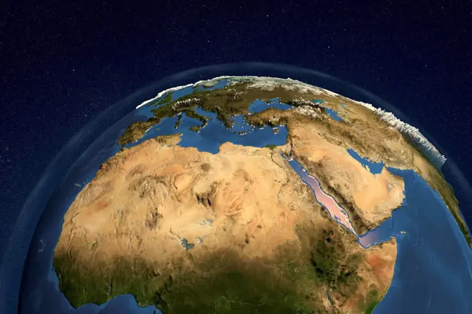
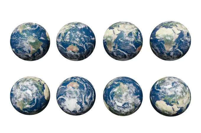
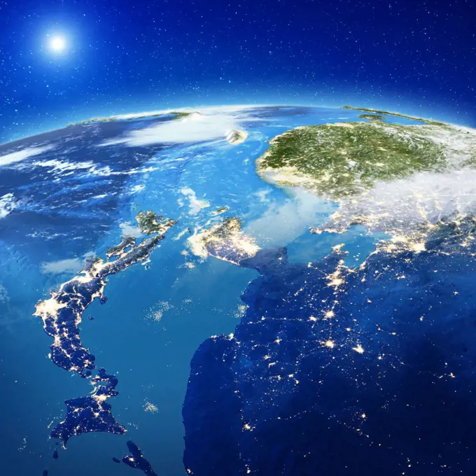
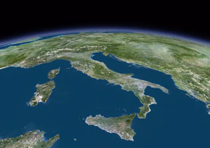
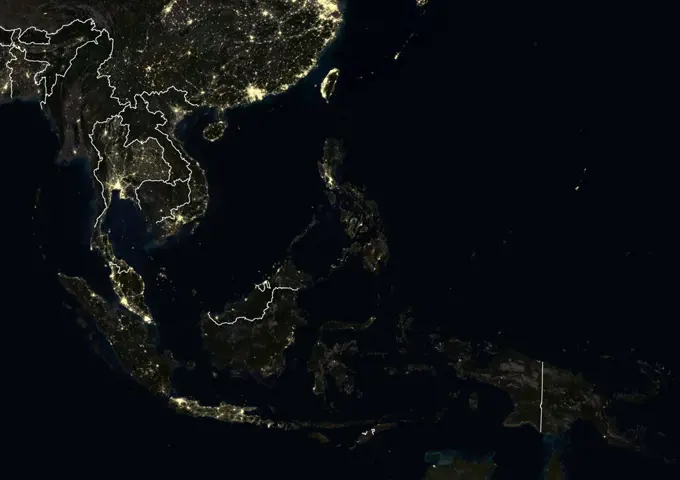
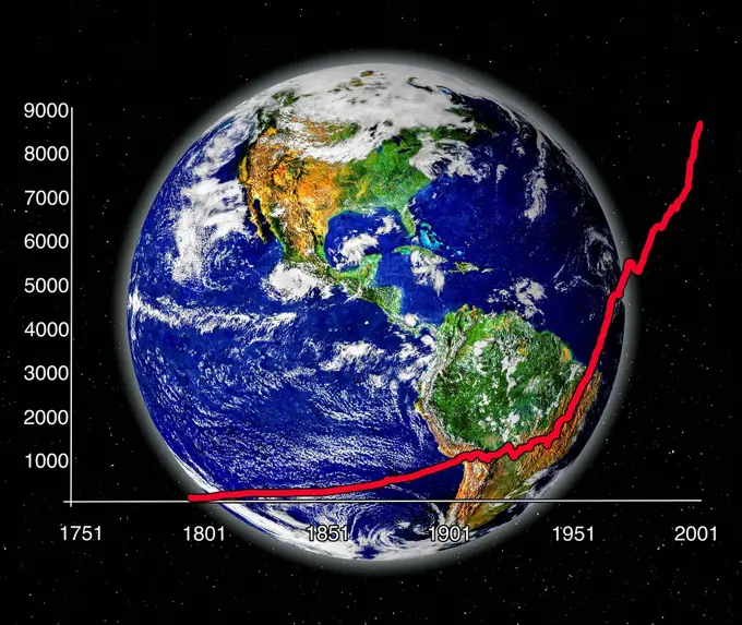
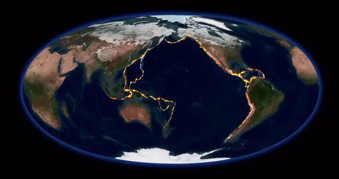
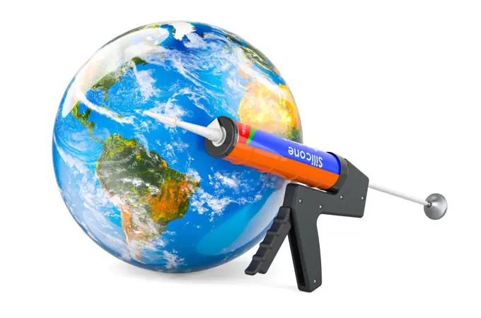
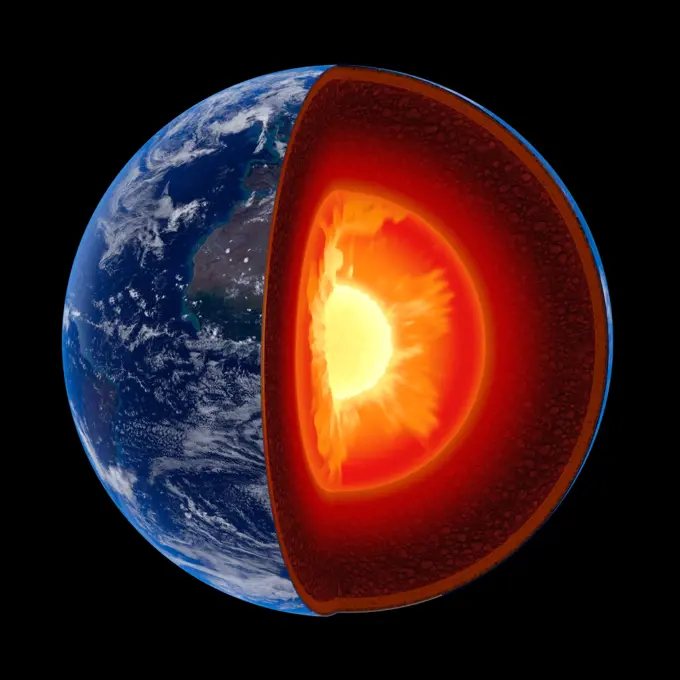
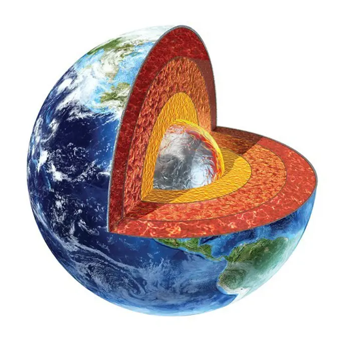
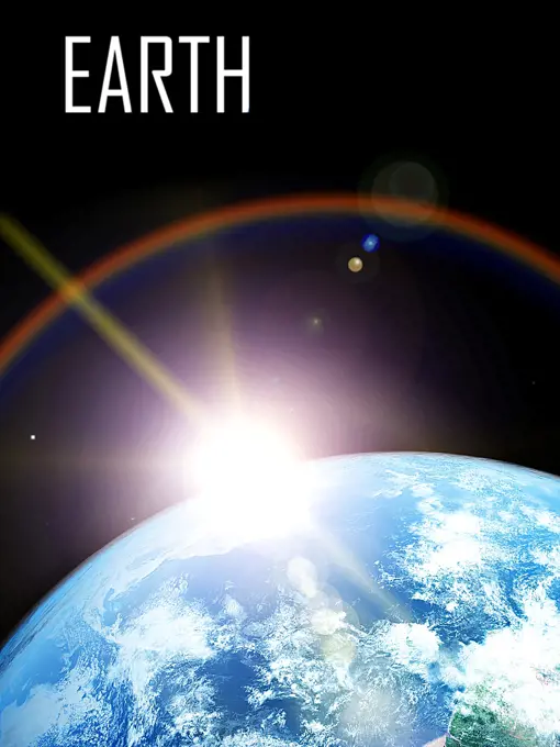
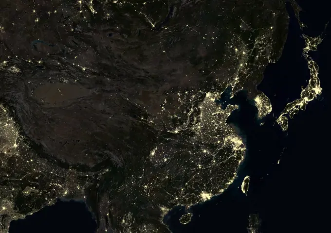
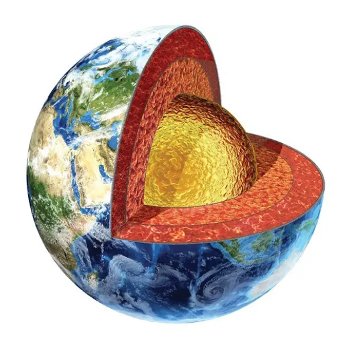
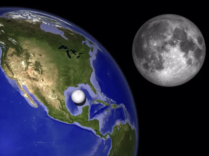
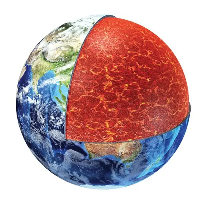
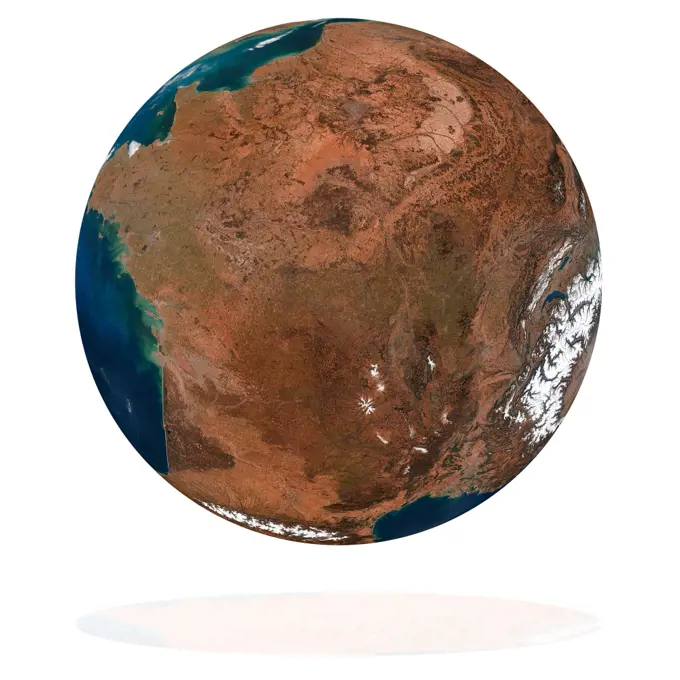
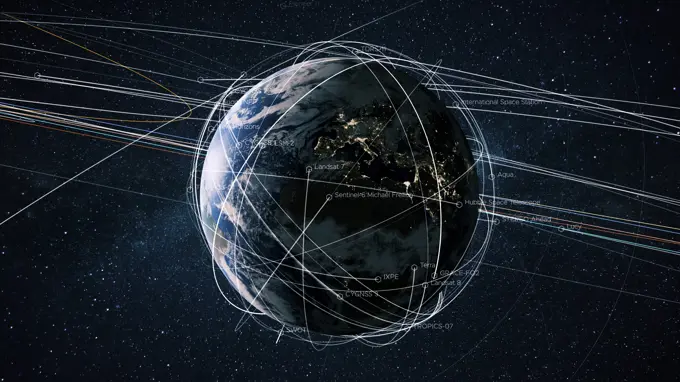
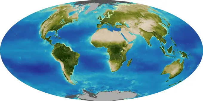
Fine ArtVintageFootageSubscriptionBoardsFree ResearchPricing
  • Fine Art
  • Vintage
  • Footage
  • Subscription
  • Boards
  • Free Research
  • Pricing

Planet Earth Visualizations

3D renderings of Earth from space, highlighting detailed continents, oceans, and atmospheric features, with various lighting effects.

Earth from space, illustration
380 assets in this story
4197-V71930022
4389-319
Apollo 17 - Return to Beautiful Earth
4197-V71930015
1525-20594758
planet earth and moon ddeep in space Elements of this image furnished by NASA
6188-65601298
Earth view An image of an Earth view from space. 3D Graphic with detailed NASA images for the earth. Copyright: xZoonar.com/magannx 8534504
1525R-100154
NASA image of Earth from outer space.
4186-73096356
Vintage Photograph. Earth from space: a mesmerizing view of our planet's beauty and fragility.
1525-57473561
Planet Earth - South America. Elements of this image furnished by NASA. 3d rendering. Planet Earth - South America
1525-21278916
blue  planet earth  in space.
255-24797356
Vintage Photograph. Globe with ring of debris and gas in space
1746-28998715
southern Africa and the surrounding oceans was captured by six orbits of the NASA/NOAA Suomi National Polar-orbiting Partnership spacecraft on April 9, 2015, by the Visible Infrared Imaging Radiometer Suite (VIIRS) instrument. Tropical Cyclone Joalane can be seen over the Indian Ocean
4128R-12573888
Planet earth with the fault lines of the tectonic plates, computer illustration.
1525-23253077
Globe in hands. Close -up image of human hands holding globe. Elements of this image are furnished by NASA
6145-29262293
Meteorology: a view of the Earth and the sun during summer in the Northern hemisphere. Coloured lithograph.
4128R-14057076
Earth from space, illustration
6145-44513229
The Eastern U.S., Europe, and Japan are brightly lit by their cities, while interiors of Africa, Asia, Australia, and South America are dark and lightly populated in this image created in 2000 by NASA's Goddard Space Flight Center.
4239R-20480097
Digitally enhanced planet Earth with hypothetical (possible but unproven) water-bearing moons.
1525-27968335
Africa and Madagascar at night. Elements of this image furnished by NASA. 3d rendering. Africa and Madagascar at night
1899-34581
Globe Oceania, True Colour Satellite Image. Earth. True colour satellite image of the Earth, centred on the region of Oceania. North is at top. Water is blue, vegetation is green, arid areas are brown, and snow and ice are white. Both land and ocean floor topography are shown. Shallow coastal waters are light blue. Oceania consists of small islands scattered around the western Pacific Ocean. Archipelago (centre left). Australia (lower left), New Zealand (lower right), part of mainland Asia (top
1525-57473558
Planet Earth - Central America, Caribbean. Elements of this image furnished by NASA. 3d rendering. Planet Earth - Central America, Caribbean
4128R-10765
Earth and Moon compared
6145-55916037
Physical map of the world, April 2001. Relief shown by shading and spot heights. Depths shown by shading. Shipping list no.: 2002-0004-S. "802802AI (R00349) 4-01."... , World
1525-23620434
Image of planets in space. Image of planets in fantastic space against dark background
1525-57473580
Panama, Central America city lights. Elements of this image furnished by NASA. 3d rendering. Panama, Central America city lights
1899-35640
Globe Showing Europe And Northern Africa, True Colour Satellite Image. True colour satellite image of the Earth showing Europe and Northern Africa, with cloud coverage. This image in orthographic projection was compiled from data acquired by LANDSAT 5 & 7 satellites.
255-24797415
Vintage Photograph. Glowing globe composite in milky way
4128R-13763314
Earth from space. Computer illustration showing the Earth as viewed from space, centred over Madagascar.
1525-24908339
Globe,Terrestrial globe
4186-14299
1960S Illustration Of Earth A Quarter In Darkness & Moon Off In Distance
6188-55609130
Computer generated Earth connection in outer space. Close-up of a spinning planet with neon connecting beams. 3d rendering of elements of this image are presented by NASA Computer generated Earth connection in outer space. Close-up of a spinning planet with neon connecting beams. 3d rendering of elements background of this image are presented by NASA Copyright: xZoonar.com/RomanxBudnikovx 14617946
1525-24922675
Globe,Terrestrial globe
6188-58106486
earth globe planet from space orbit earth globe planet from space orbit. Elements of this image furnished by NASA Copyright: xZoonar.com/StanislavxRishnyakx 15409178
4239R-20480672
Partial view of Earth showing northern Canada and northern Greenland.
4197-V71401244
1899-21290131
Middle East and India at night in 2012. This satellite image shows urban and industrial lights.
1525-23305779
Man painter. Young handsome man painter with brush in hand. Elements of this image are furnished by NASA
1525-24930021
Globe,Terrestrial globe
1525-28167485
India from space. Elements of this image furnished by NASA. 3d rendering. India from space
6188-56047302
3D Globe North America Globe model with detailed topography without water. North America. 3d rendering isolated on white background. Elements of this image furnished by NASA Copyright: xZoonar.com/JacekxFulawkax 10232690
1525-26486225
Set of Planet Earth isolated on white background with clipping path. Elements of this image furnished by NASA. 3d rendering
1899-35511
Asia At Night With Country Borders, True Colour Satellite Image. True colour satellite image of Asia at night with country borders. This image in Lambert Azimuthal Equal Area projection was compiled from data acquired by LANDSAT 5 & 7 satellites.
1525-28246302
Japan and South Korea from space. Elements of this image furnished by NASA. 3d rendering. Japan and South Korea from space
1899-35508
Asia With Country Borders And Cloud Coverage, True Colour Satellite Image. True colour satellite image of Asia with country borders and cloud coverage. This image in Lambert Azimuthal Equal Area projection was compiled from data acquired by LANDSAT 5 & 7 satellites.
1899-21290504
3D satellite image of Italy, showing Sicily, Sardinia and Corsica.
6145-45063346
A piece of Africaactually lots of thembegan to arrive in the Americas in June 2014. On June 23, a lengthy river of dust from western Africa began to push across the Atlantic Ocean on easterly winds. A week later, the influx of dust was affecting air quality as far away as the southeastern United States. This composite image, made with data from the Visible Infrared Imaging Radiometer Suite (VIIRS) on Suomi NPP, shows dust heading west toward South America and the Gulf of Mexico on June 25, 2014. The dust flowed roughly parallel to a line of clouds in the intertropical convergence zone, an area near the equator where the trade winds come together and rain and clouds are common. In imagery captured by the Moderate Resolution Imaging Spectroradiometer (MODIS), the dust appeared to be streaming from Mauritania, Senegal, and Western Sahara, though some of it may have originated in countries farther to the east. Saharan dust has a range of impacts on ecosystems downwind. Each year, dust ev
1746-19664959
Water vapour is the most effective greenhouse gas in the atmosphere. It influences weather and climate and is responsible for cloud development, precipitation, and modulates the atmospheric radiative energy transfer. It effects weather and climate and is responsible for cloud development, precipitation, and modulates the atmospheric radiative energy transfer. Therefore it influences the energy balance of the earth and,in turn, also effects the temperature and circulation of the earth-atmosphere system. The colors range from dark brown (indicating low level of water vapour) to white, blue and dark blue (indicating high level of water vapour)
1899-21290087
Southeast Asia at night in 2012. This satellite image with country borders shows urban and industrial lights.
4289-32564
Map of Alaska & the Arctic with Curvature of the Earth/nDigital Image
5507-44835119
The coronavirus or covid 19 virus has spread Human life around t
4128R-13763303
Earth from space in night. Computer illustration showing the Earth as viewed from space, centred over Europe.
1899-35510
Asia At Night, True Colour Satellite Image. True colour satellite image of Asia at night. This image in Lambert Azimuthal Equal Area projection was compiled from data acquired by LANDSAT 5 & 7 satellites.
6176-62018731
Globe, view of the Mediterranean Sea, Western Europe and North Africa.
1525-22343353
Close-up of a globe on a human finger
1899-21290137
World at night in 2012, showing a world map in Miller projection. This satellite image shows urban and industrial lights.
1525-57473556
Ukraine and Russia at night. Elements of this image furnished by NASA. 3d rendering. Ukraine and Russia at night
4141-7942
the world from space north & south america africa europe & saudi arabia. please credit: nasa/t&t stack/nhpa for editorial use only; not for promotion or endorsement
4128-28575108
Global carbon emissions, composite image
1899-35490
Africa At Night, True Colour Satellite Image. True colour satellite image of Africa at night. This image in Lambert Azimuthal Equal Area projection was compiled from data acquired by LANDSAT 5 & 7 satellites.
824-63189631
A map of the world. North America (purple), South America (blue purple), Carribean (fuschia), Central Europe (dark pink), Eastern Europe (pale pink), Middle East and North Africa (ochre orange), Western Europe and Central Asia (dark beige), South Africa (orange), South and South West Asia (pale beige), the Pacific (green).
6188-64653209
Earth in Visvesvaraya Science Museum, Bangalore, Karnataka, India, Asia India Copyright: xDuttagupta/DinodiaxPhotox -
1525-27039906
Planet earth by night, elements of this image furnished by NASA- 3D render
1525-24840450
blue  planet earth  in space.
6145-45240035
AS10-34-5013 (18 May 1969) --- A view of Earth from 36,000 nautical miles away as photographed from the Apollo 10 spacecraft during its trans-lunar journey toward the moon. While the Yucatan Peninsula is obscured by clouds, nearly all of Mexico north of the Isthmus of Tehuantepec can be clearly delineated. The Gulf of California and Baja California and the San Joaquin Valley can be easily identified. Also, the delta of the Rio Grande River and the Texas coast are visible. Note the color differences (greens - east, browns - west) along the 100 degrees meridian. The crew members on Apollo 10 are astronauts Thomas P. Stafford, commander; John W. Young, command module pilot; and Eugene E. Cernan, lunar module pilot. Astronaut Young remained in lunar orbit, in the Command and Service Modules (CSM) Charlie Brown , while astronauts Stafford and Cernan descended to within nine miles of the lunar surface, in the Lunar Module (LM) Snoopy .
4128R-13271195
Earth and Moon and space-time. Illustration of the gravitational fields of the Earth and Moon distorting the fabric of space-time. Albert Einstein con...
4128-111495791
Map of all confirmed impact craters on Earth. The craters are sorted into size groups by colour, as follows. White: 0-5km diameter. Green: 5-10km diam...
1899-35499
Oceania With Cloud Coverage, True Colour Satellite Image. True colour satellite image of Oceania with cloud coverage. This image in Lambert Conformal Conic projection was compiled from data acquired by LANDSAT 5 & 7 satellites.
1899-35638
Globe Centred On The South Pole, True Colour Satellite Image. True colour satellite image of the Earth centred on the South Pole, at the equinox at 12 p.m GMT. This image in orthographic projection was compiled from data acquired by LANDSAT 5 & 7 satellites.
4128-18180969
Pacific Ring of Fire, illustration
1439R-1089348
Scientist holding a globe
6188-67439869
Sealing gun with silicone sealing tube with earth ball, 3D rendering sealing gun with silicone doff tube with globe, 3D rendering copyright: xzoonar.com/natatravelx 22965982
1525-20662580
Computer generated planet, isolated over black background
6145-44556560
This view of the Earth shows a wonderfully unique but physically impossible view of the southern hemisphere and Antarctica. While a spacecraft could find itself directly over the Earth's pole, roughly half of the image should be in darkness!
1525-22391088
Globe,Terrestrial globe
4197-V71930023
6177-V54003502
6177-V53803590
1525-21552340
Earth core structure illustrated with geological layers according to scale - isolated on black (Elements of this 3d image furnished by NASA -  source maps from http://visibleearth.nasa.gov/)
1899-21290136
World at night in 2012, showing a world map in Miller projection. This satellite image with country borders shows urban and industrial lights.
1525-23548597
Globe model with detailed topography without water. North America. 3d rendering isolated on white background. Elements of this image furnished by NASA
1457R-1196
Topographic Map of Earth
1525-28182422
Planet Earth geography map set. Elements of this image furnished by NASA. 3d rendering. Planet Earth geography map set
4239R-7882
Cross section of planet Earth showing the inner core, made by solid iron and nickel, with a temperature of 4500Á Celsius.
1525-21109607
Measuring Earth isolated on white
1525-28182411
Europe at night. Elements of this image furnished by NASA. 3d rendering. Europe at night
1574R-017100
Light Information 5  2004 Linda Braucht (20th C. American) Computer graphics
1525-27128389
Alaska at night. Elements of this image furnished by NASA. 3d rendering. Alaska at night
1525-21265906
Earth and sun. Space sunrise
1525-23548665
Globe model with detailed topography without water. Australia. 3d rendering isolated on white background. Elements of this image furnished by NASA
4197-V71930026
1899-21290097
China at night in 2012. This satellite image shows urban and industrial lights.
4239R-7881
Cross section of planet Earth showing the outer core, made by liquid iron, sulfur, nickel and oxygen. Temperature 3200Á Celsius.
6177-V53847128
1457-1124
Global view over North America with Arctic sea ice shown on April 8, 2006
4239R-503
Enceladus is considered one of Saturn's major satellites, however, it is quite diminutive when compared with the Earth and Earth's Moon
1570R-130652
View of earth from the moon
4239R-7879
Cross section of planet Earth showing the upper mantle, made by magnesium, iron, aluminum, silicon and oxygen. Temperature 700 - 1300Á Celsius.
1525-19777941
France on the Earth planet. Data source: Nasa
6188-60943115
Schöner blauer Planet Erde mit Satelliten und Flugbahnlinien im sternenklaren Raum. Planet Erde mit dem Licht der nächtlichen Städte Europas und der Bewegung der Erdsatelliten *** Beautiful Blue Planet Earth with Satellites and Trajectory lines at starry Room Planet Earth with the Light the nocturnal Cities Europe and the Movement the Earth satellites 1102804980
1746-28998817
Graphic illustrating the Global Biosphere in 1999. The biosphere also known as the ecosphere, is the worldwide sum of all ecosystems. the biosphere is the global ecological system integrating all living beings and their relationships, including their interaction with the elements of the lithosphere, geosphere, hydrosphere, and atmosphere.
1795-51174274
Model of Coronavirus spreading pandemic over globe
PREVIOUS
of 4
NEXT
2401 S. Ervay, Suite 206
Dallas, Texas 75215
United States
Browse
CategoriesGalleriesFree Research
For Creators
License Your ContentSuperStock For StudentsFrame of Mind BlogContributor PortalNew Image SpotlightLicense AI Imagery
Resources
About UsLicensingTerms & ConditionsAPI AccessPrivacyPricing
Contact
+1 866 236 0087help@superstock.com Contact form
©2026 SuperStock. All Rights Reserved. -A
This site is protected by reCAPTCHA and Google Privacy Policy and Terms of Service apply.