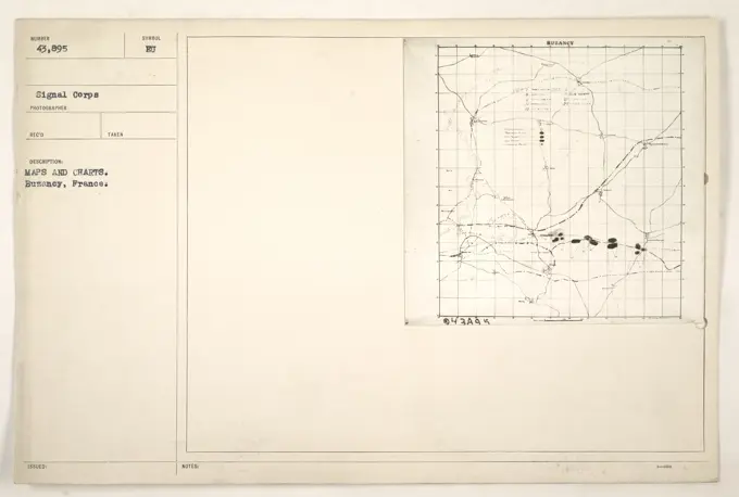
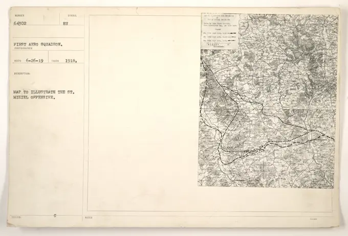
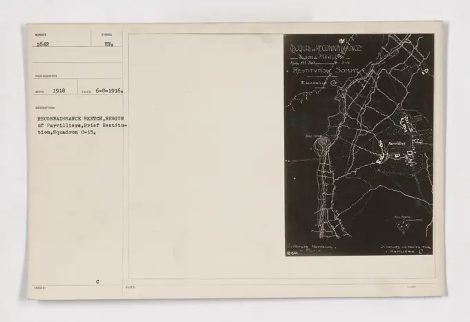
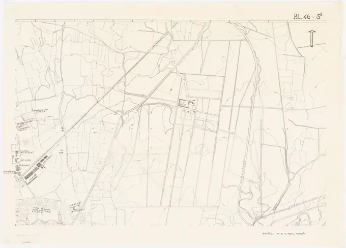
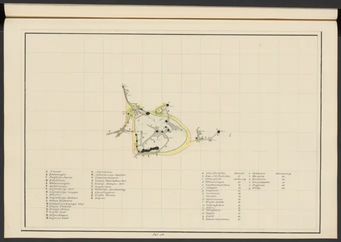
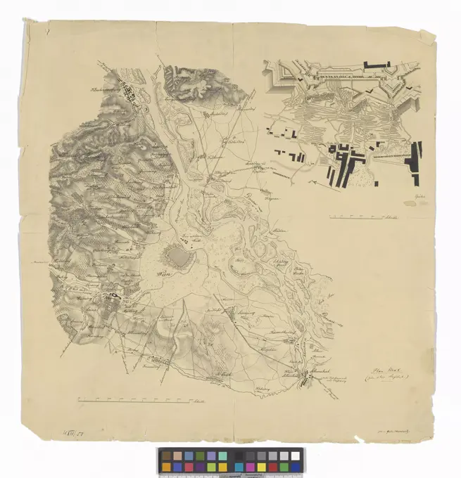
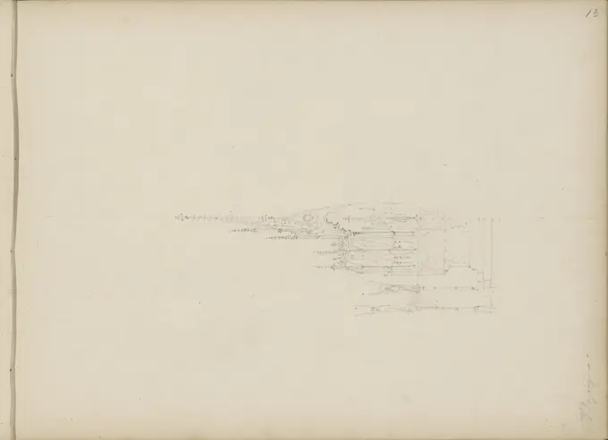
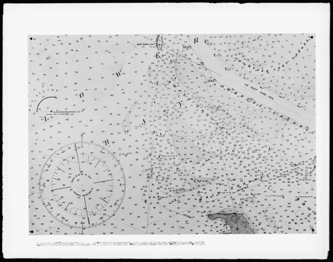
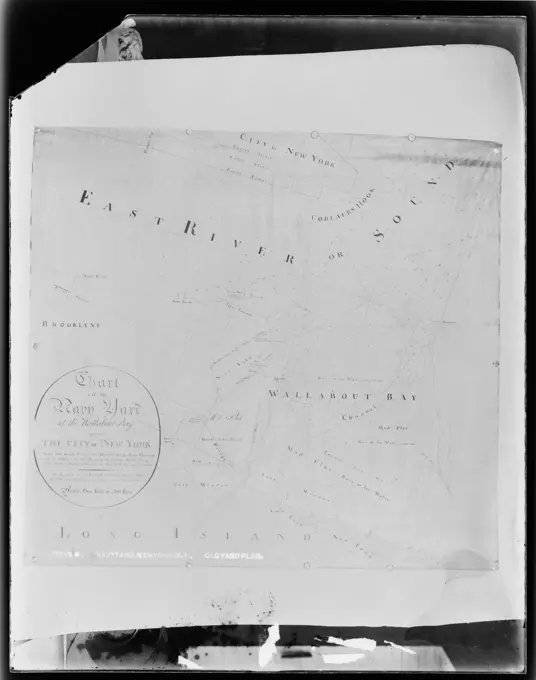
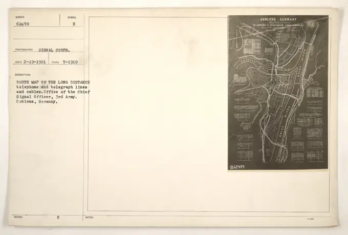
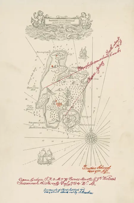
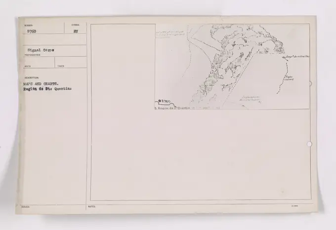
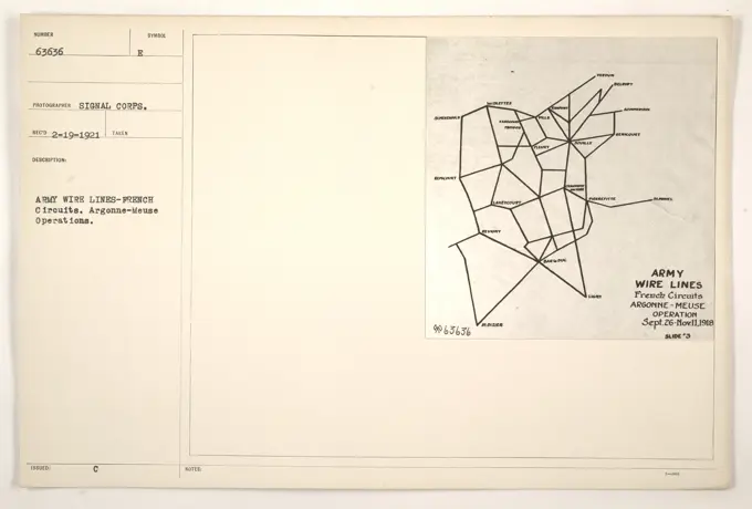
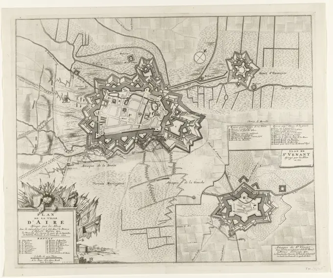
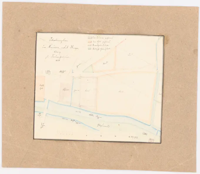
World War One Maps and Charts
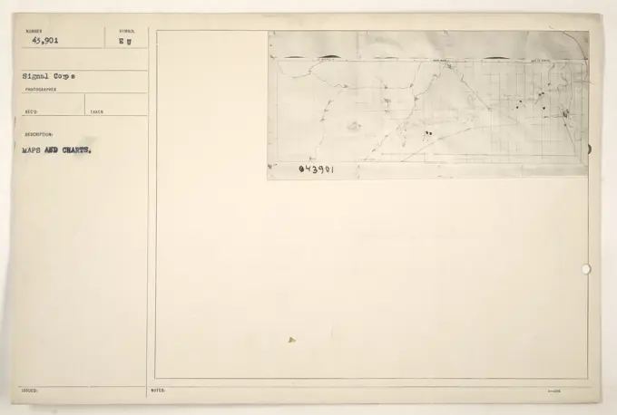
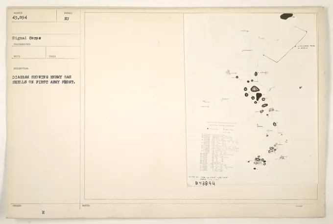
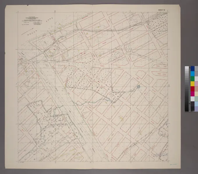
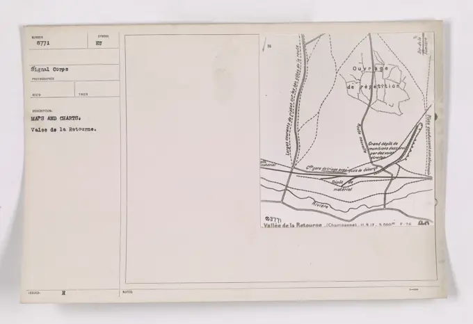
Detailed historical maps and diagrams from World War One, showing military strategies, troop movements, and locations of equipment.

Detailed historical maps and diagrams from World War One, showing military strategies, troop movements, and locations of equipment.